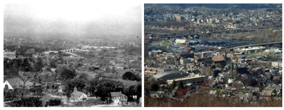
Land Use Change is an interdisciplinary technology-embedded middle school science curriculum. This curriculum focuses on how human activities influence environmental changes related to land use. Students use geospatial information technology (GIT) tools including Google Earth and remotely sensed images to investigate modern day land use issues and land use change over time.
The materials have been pilot-tested and field-tested in 8th grade classrooms. Materials best used with the Firefox Web Browser and Google Earth version 5.2 or higher.
ELI is sponsored in part by the Lehigh Environmental Initiative. This material is based upon work supported by the Toyota USA Foundation and the NASA Explorer Schools program.